latinet:unicaes:opendronemap:mission-planning
Table of Contents
DJI Mavic - Mission Planning and Execution
Mission Planning
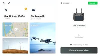
For the initial planning of a mission, you don´t need to be connected to the drone. You will just need the controller.
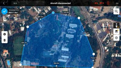
Mapping out the area
-
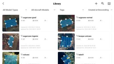
- Here you will see all the routes you created before
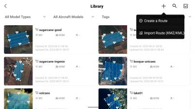
- You can add new missions by clicking the plus in the top right corner
-
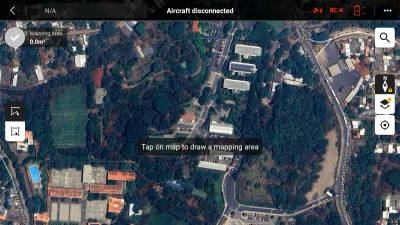
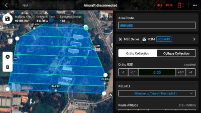
- You can add new corners in between by clicking the small
+-Icons on the individual lines - Click the checkmark in the top left corner to save your mapped area
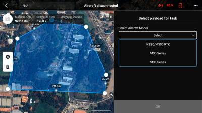
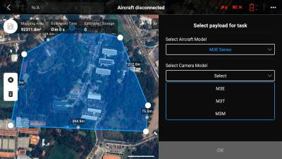
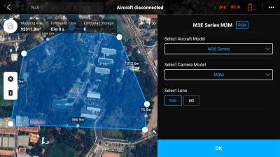
Mission setup
-
- Give the mission a good name
Ortho Collectionfor normal cartographyOblique Collectionfor 3D reconstructionOrtho GSDis used to set roughly the resolution in cm/px of the map you want to get in the end. This will automatically adjust the needed height, so you won't need to change thatASL/ALTis the reference that is used to determine the flight height. You can normally leave it atALT, but you need to make sure that there is no object at the flight height of the drone in the end. For example, you fly at the foot of a 100m tall hill and you set the flight height to 50m relative to your starting position… well that wouldn´t be that helpful.
-
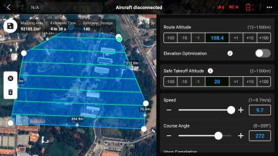
Route Altitudedoes not need to be changed if you set Ortho GSD. Just make sure the altitude is higher than any obstacle that is inside the area to be mapped.Elevation Optimizationshould be activated if the DSM/DTM is important. The drone will just take some additional images at the end of the flightSafe Takeoff Altitudeonly needs to be set if you fly the drone 100% automatically. In our opinion, you should start the drone manually to check for obstacles anyway. Otherwise set to something reasonable.Speedcan be set to maximum. Reasons to lower it would be low light conditions or heavy winds.Course Anglecan be left untouched, only change is needed if you want to capture pictures from a specific side of the area.
For reference here also an official video by DJI: How To Start A Mapping Mission And Create 2D Maps- Episode 9
Flying the Mission
latinet/unicaes/opendronemap/mission-planning.txt · Last modified: 2023/09/01 23:01 by jan.sonntag

