latinet:unicaes:opendronemap:mission-planning
This is an old revision of the document!
Table of Contents
DJI Mavic - Mission Planning and Execution
Mission Planning
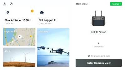
For the initial planning of a mission, you don´t need to be connected to the drone. You will just need the controller.
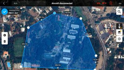
Mapping out the area
-
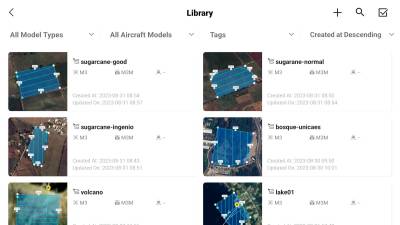
- Here you will see all the routes you created before
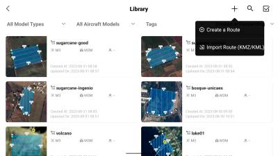
- You can add new missions by clicking the plus in the top right corner
-
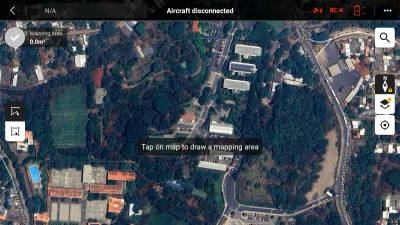
- You can add new corners in between by clicking the small
+-Icons on the individual lines - Click the checkmark in the top left corner to save your mapped area
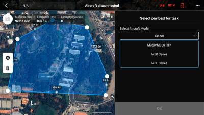
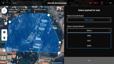
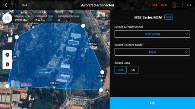
Camera setup
- Drone setup
For reference here also an official video by DJI: How To Start A Mapping Mission And Create 2D Maps- Episode 9
Flying the Mission
latinet/unicaes/opendronemap/mission-planning.1693599415.txt.gz · Last modified: 2023/09/01 22:16 by jan.sonntag

